
Premier Geospatial
& Software Services
& Software Services
TerraWeave Geospatial Framework
Our TerraWeave Geospatial FrameworkTM replaces our original ArcIMS Companion product GeoSmart.net with dramatically increased functionality, an updated interface and support for over 30 additional sources of geospatial data. TerraWeave provides robust mapping functionality out of the box, allows for seamless integration with existing websites, and works with the HTML5 frameworks from Sencha for both desktop and mobile solutions.
Google
Map Sources
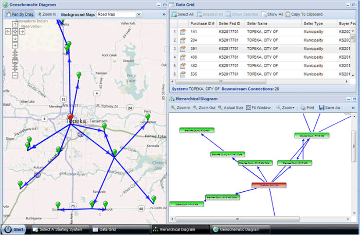
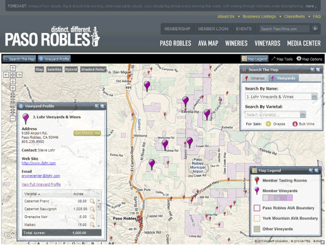
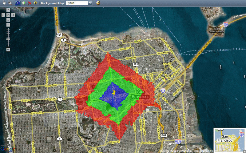
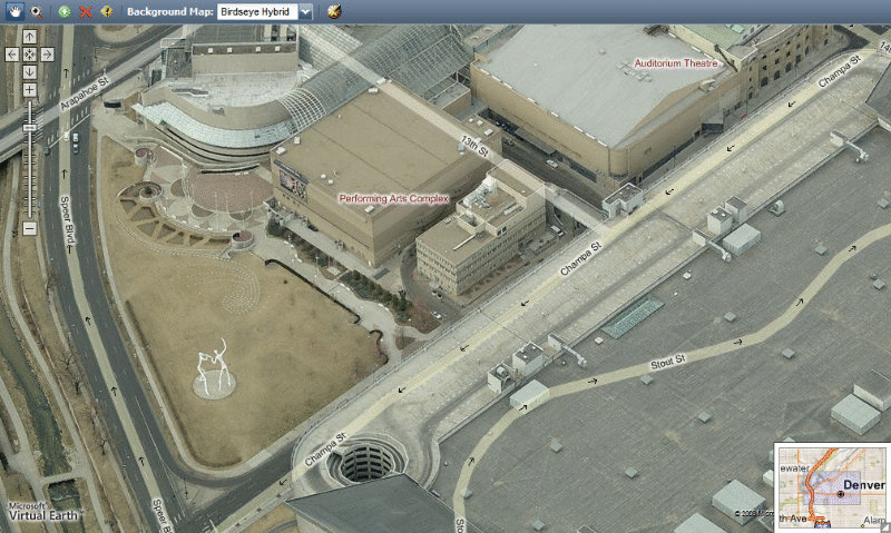
TerraWeave enables you to combine or "mashup" multiple map sources into a single application. Examples of the variety of geospatial sources using TerraWeave are:ESRI
- ArcGIS Server - Cached Map Tiles, Dynamic Map Services, On-Demand Tile Caching, Geocoding, Geoprocessing Tasks
- ArcIMS - Dynamic Map Services, On-Demand Tile Caching, Geocoding
- ArcGIS On-line - Cached Map Tiles, Dynamic Map Services, On-Demand Tile Caching, Geocoding, Geoprocessing
Microsoft
- Virtual Earth/Bing - Road Map, Satellite, Hybrid, Terrain, Traffic, Birdseye, Pictometry, Custom Map Tiles, Geocoding, Routing
- SQL Server 2008 / 2012
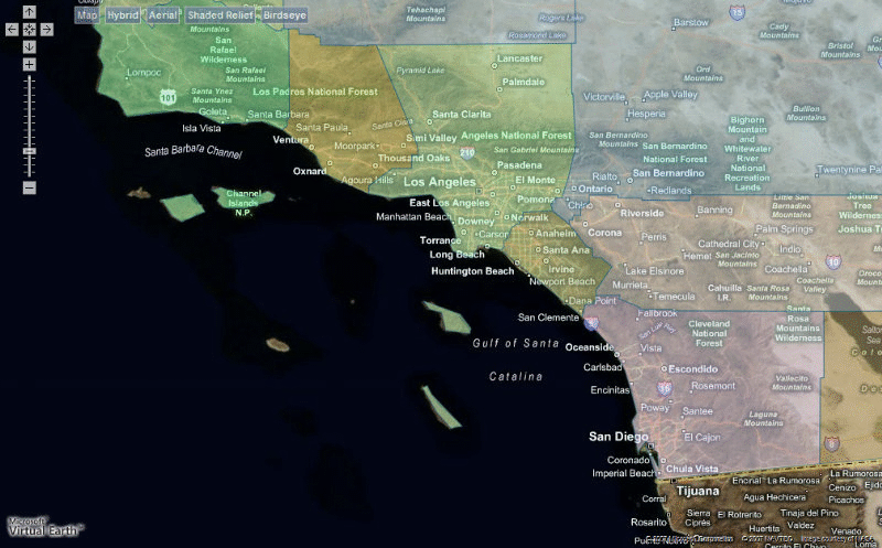
- Google Maps - Road Map, Satellite, Hybrid, Terrain, Traffic, Biking, Public Transit, Custom Map Tiles, Geocoding, Routing
- StreetView
- Fusion Tables
- Google Map Engine
- Google Earth Browser Plug-in
Open Source
- CloudMade
- GeoWebCache
- GeoServer
- GeoNames
- MapBox
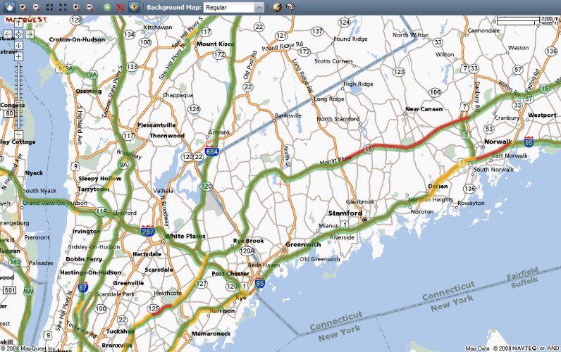
- MapQuest
- MapServer
- MBTiles
- Open Street Map
- Open Cycle Map
- Open Aerial Map
- QuadKey
- Stamen
- Tile Map Server (TMS)
- TileCache
- TileStache
- Web Mapping Service (WMS)
Vectors
- Bing Boundaries
- Bing Incidents
- CartoDB
- ESRi's JSON
- Flickr
- GeoJSON
- GeoRSS
- GPX
- KML
- TopoJSON
- YouTube
Tools and Controls
TerraWeave includes a robust set of standard geospatial tools and controls and we are continually adding more standard and custom tools and controls.Interactive Mouse Tools
- Drawing
- Highlight Graphic
- Identify By Point
- Identify By Envelope
- Pan By Drag
- Pan By Point
- Query By Point
- Select By Envelope
- Select By Point
- Select Graphic
- Streetview
- Swipe
- Zoom In By Envelope
- Zoom In By Point
- Zoom Out By Envelope
- Zoom Out By Point
Toggle Tools
- Toggle Fullscreeen
- Toggle Grid
- Toggle Overview
- Toggle Labels
- Toggle Traffic layer
- Toggle Bicycling Layer
Drop-down Menus
- Select Background Map
- Select Theme
- Zoom To Scale
- Zoom to Zoom Level
Action Tools
- Permalink
- Zoom In
- Zoom Out
- Zoom To Full Extent
- Zoom To Next Extent
- Zoom To Previous Extent
- Zoom To User Location
Background Tools
- Auto Pan
- Center On Right Click
- Mousewheel Zoom
- Right-Click Menu
- Zoom On Double Click
Touch Tools
- Pan By Touch
- Pinch To Zoom
- Swipe
- Zoom By Double-Tap
Interface Controls
- Docked ToolBar
- Grid
- InfoPanel
- LoadMask
- MapTips
- MapTypes
- Navigation Bar
- Overview Map
- Scalebar
- Statusbar
- Zoom Rectangle
Overlay Controls
- Overlays
- Drawing
- Hotspots
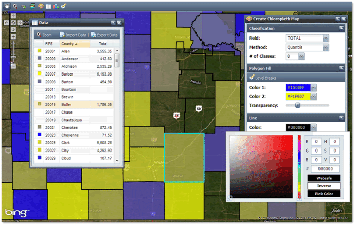
- Choropleth
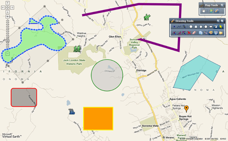
Drawing Controls
- Drawing Tools
- Drawing Options
- Map Notes
- Shape Manager
- Attributes
Window Controls
- Bookmarks
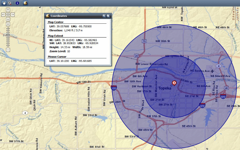
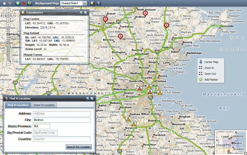
- Coordinate Viewer
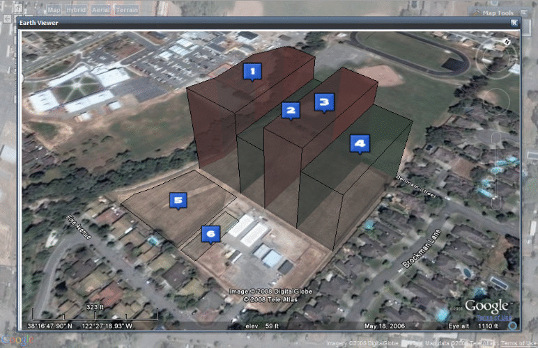
- Earth Viewer
- Export Map
- Floating Toolbar
- Layer List
- Legend
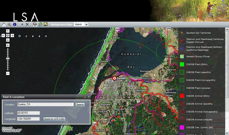
- Locator (Geocoding)
Re-Project Geospatial Data On-The-Fly
TerraWeave includes a Projection Library to allow dynamic map sources to be reprojected on-the-fly allowing us to include many more geospatial data sources.Vector Graphics and Drawing Tools
TerraWeave includes a powerful Graphics Library for presenting vector graphics across all browsers and allowing robust drawing and editing capabilities.Integrated with Sencha ExtJS
TerraWeave is integrated with the ExtJS JavaScript Library enabling us to build rich web geospatail applications with built-in support for major browsers, mobile phones, tablets and user interface widgets.Cross Browser Support
Compatibility with different web browsers can be a developers nightmare. TerraWeave support the major browsers used by 99% of web users including the latest touchscreen smartphones and tablets.- Internet Explorer
- Mozilla Firefox
- Apple Safari
- Google Chrome
- Mobile - Apple iPad/iPhone/iPod Touch, Android Phones and Tablets
- Opera
Copyright © 2024, MoosePoint Technology
Contact Us
Contact Us